
Abraham Ortelius’s Europae is one of the best-known early modern maps of Europe. The map first appeared in his famous atlas, Theatrum Orbis Terrarum, which was published in Antwerp in 1570. The version discussed here comes from a 1572. edition.
The map shows how Europe was understood in the late 16th century. It includes the continent itself, Iceland, part of Greenland, North Africa, and part of the western Middle East. It is not a modern scientific map, but it is a detailed record of European geography as Ortelius and his sources presented it.
What the map shows
Ortelius’s Europe map is titled Europae. It presents Europe as a full continent rather than as a small part of a world map. That is important because the Theatrum Orbis Terrarum was designed as a complete atlas, with maps arranged in a consistent format and supported by text.
The map includes familiar parts of Europe, but it also shows details that now look unusual. Iceland appears in the north Atlantic. Part of Greenland appears above it. North Africa and the western Middle East are included along the lower and right edges of the map.
This makes the map useful for more than simple geography. It shows Europe’s position in relation to nearby regions. To a sixteenth-century reader, Europe was not shown in isolation. It was connected to the Mediterranean, the Atlantic, North Africa, and western Asia.
Why the map looks different today
Some parts of the map look strange to a modern viewer.
The coastlines are not exact. Some shapes feel stretched or compressed. The far northern areas are especially different from what we expect today. That does not make the map careless. Ortelius worked with the best available sources he had, but those sources were uneven.
The Library of Congress notes that Ortelius’s atlas was built by gathering, refining, and reducing maps by other geographers into one consistent atlas format. For Europae, important sources included Gerardus Mercator, Olaus Magnus, and Giacomo Gastaldi.
That is one reason the map is so interesting. It is not only Ortelius’s view of Europe. It is a carefully edited summary of earlier 16th century mapmaking.
The map inside the first modern atlas
Ortelius’s Theatrum Orbis Terrarum is often called the first true modern atlas. The reason is simple: it brought maps together in a uniform size, with related text, engraved for one organized book. Earlier map collections existed, but they were often assembled in a less consistent way.
The first edition appeared in Antwerp in 1570. It contained 70 maps on 53 sheets. The atlas was later revised, expanded, and printed in many editions until 1612.
This gave Ortelius’s maps a wide influence. A reader did not need to collect separate loose maps from different makers. The Theatrum gave them a structured view of the known world in one volume.
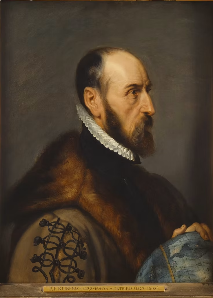
Abraham Ortelius
Abraham Ortelius was born in Antwerp in 1527. and died in 1598. He worked as a map colorist, dealer, collector, scholar, and geographer before becoming famous for the Theatrum Orbis Terrarum.
This short section can link to a future post about Abraham Ortelius, where you can explain his life, his sources, and why his atlas became so important.
Details worth noticing
The map rewards close looking.
Around Ireland, you can find older legendary and religious geography mixed into the map. One famous example is the mythical island of Brasil, which appeared on maps for centuries even though it was never a real island. St. Patrick’s Purgatory also appears, connecting the map to medieval pilgrimage tradition.
The seas include ships and decorative engraved details. These details are easy to read as decoration, but they also show how early modern maps combined geography with visual storytelling. Empty water was often filled with ships, monsters, cartouches, and other engraved details.
This is one of the reasons Ortelius’s maps still attract attention. They are practical geographic documents, but they also carry the imagination and limits of their time.
Why this map matters
Ortelius’s Europae matters because it shows Europe through the eyes of late 16th century cartography.
It came from a period when mapmaking was becoming more organized, more widely printed, and more useful to scholars, merchants, rulers, and educated readers. Ortelius did not simply draw a map of Europe from nothing. He gathered earlier knowledge, edited it, and placed it into one of the most important atlases ever printed.
That is what makes the map valuable today. It shows both what Europeans knew and what they still misunderstood. It is a map of a continent, but it is also a record of how knowledge was collected, corrected, and published in the 16th century.


